Landscout 2: Preview
Be the first to see Landscout 2.
Download now to see Landscout, firsthand.
> Download Landscout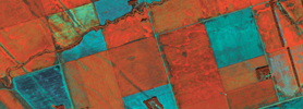
Imagery for 2017
Get multiple shots of your fields and track progression. Quality imagery is available for the 2017 season.
> Learn More
Get Started
Prices start at $1000/yr for a single user account to analyze and download all the base imagery you want!
> Price ListLandscout 2
Cloud meets ground.
The comprehensive in-field solution is Cloud driven, offline optimized and here.
Fields
Complete custom grouping.
Landscout v2 is built to work with you, in your field. But planning your work is just as important as working that plan.
The very first section of LSv2.0, 'FIELDS', helps you navigate your account and zoom to any group, farm or field.
Scenes
Refined retrieval.
A key facet of Landscout is having access to a wide gamut of satellite scenes available to analyze.
The 'SCENES' section now lets you search the Satshot database for a scene which can be filtered via a field or even where you stand!
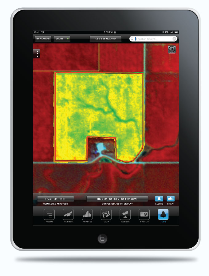
Analyzing
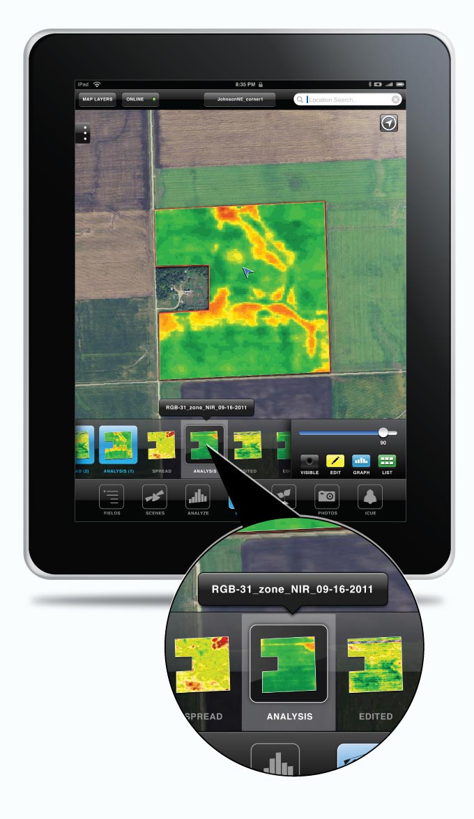
Bio-mass zone mapping.
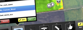
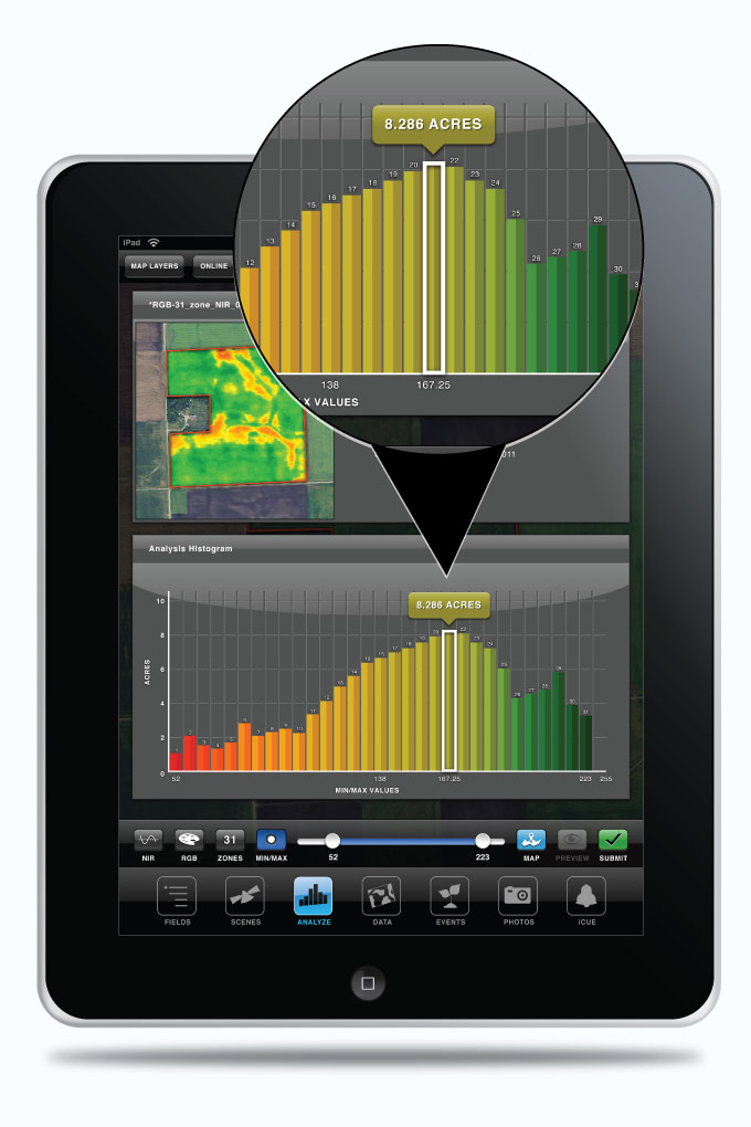
Create highly detailed and customizable zone maps of any field in the 'ANALYSIS' section of Landscout.
This time, we've added 'Graph View', which gathers the on-screen data and loads it into an interactive histogram.
Also, the addition of 'Preview' gives you the power to view and make changes to your custom map before saving it to your account.
Datasets
Your personal database.
Loading the datasets onto the map is easy...
...what you do once they are loaded is fun!
Edit, export and email your loaded data. Toggle dataset visibility and adjust transparency. Also, view the histogram and other detailed information.
Add Fields
It’s easy to add fields in Landscout. Simply select the ‘Add FLD’ tab, select display fields then the layer either by section or by CLU (FSA boundaries). Select the field boundary you want, enter the field name and region you want to associate it to and click save. You can also bring up fields that were saved from Mapcenter.
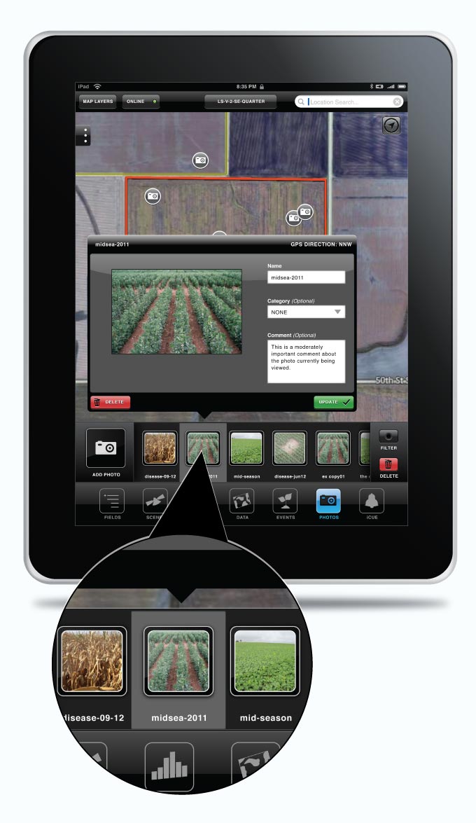
Photos
Capture, upload and link.
We've added another prominent feature to landscout: Photo points.
Any time you're working on a field in Landscout, you may capture a photo with your iPad or iPhone and it will mark a photo point.
You may also upload photos from your device's photo gallery and even link them in your scouting events!
3rd Party Integrations
Send to MyJohnDeere Operations Center.
In the last year we've worked diligently to integrate our services into the John Deere environment. Now with the use of JDlink and the MyJD Operations center, you can send files directly from Landscout to the Ops center and/or to a 2630 controller. This can give you the power to make simple prescriptions for seed, chemical or fertilizer right in the cab before you start the job. Contact us and a John Deere Dealership for more details.